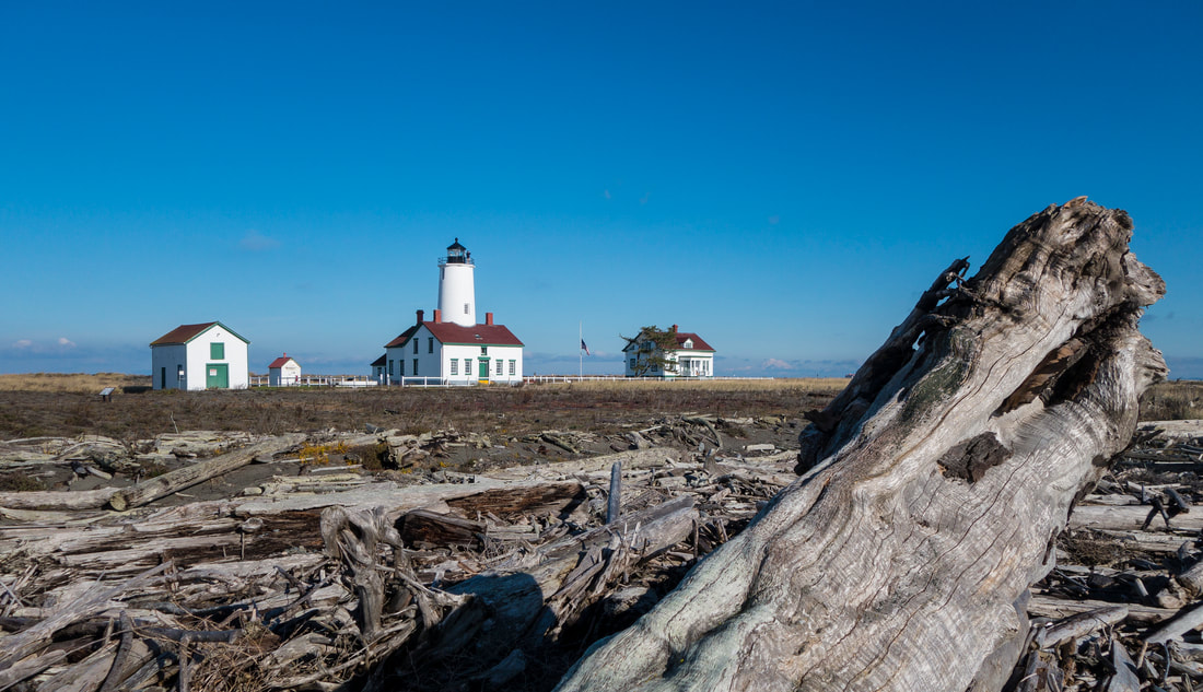
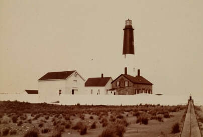
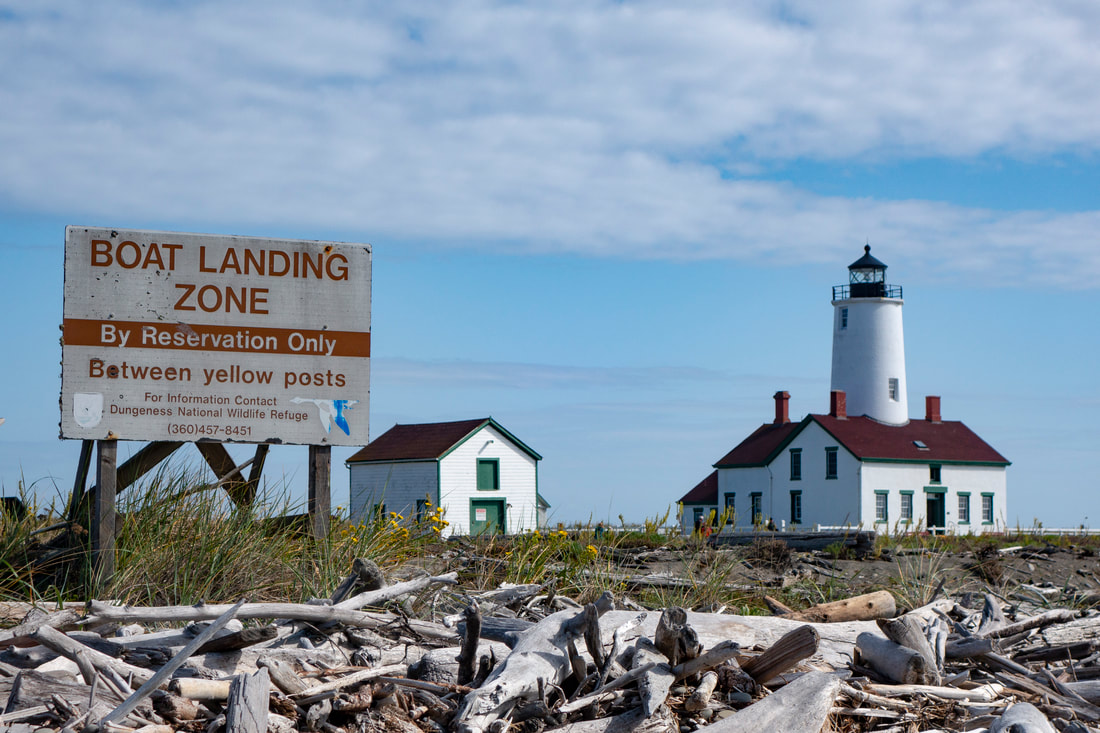
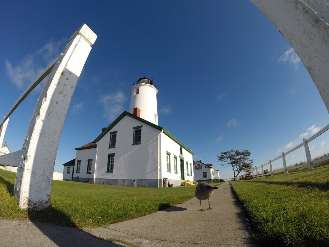
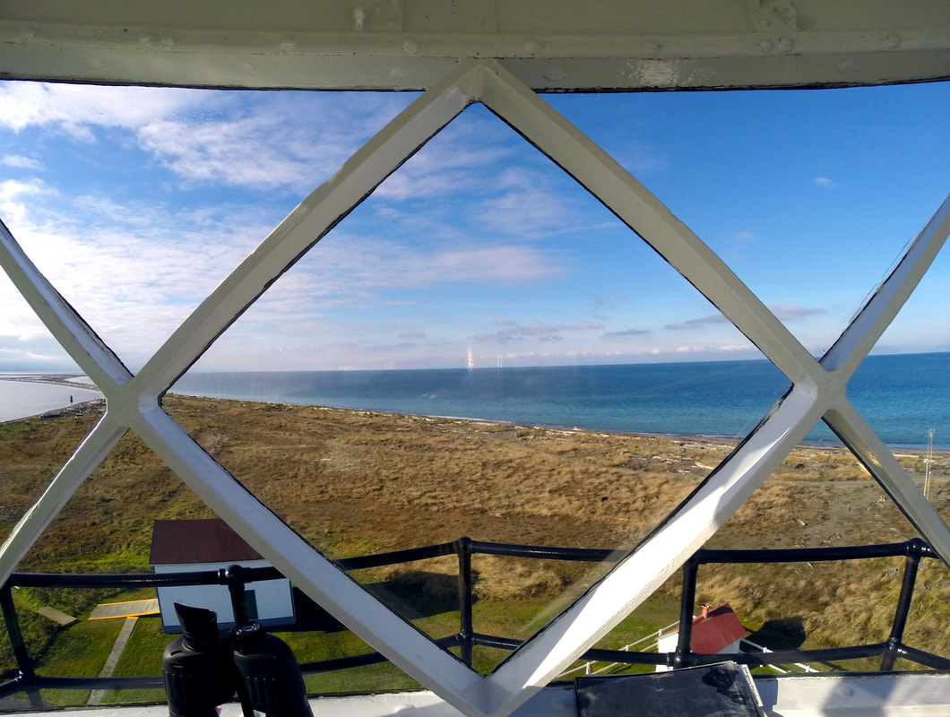
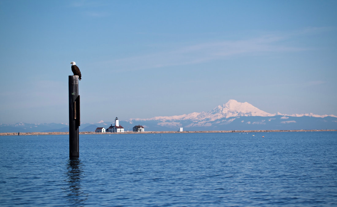
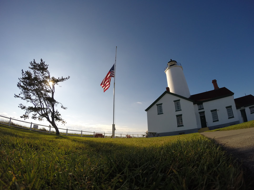
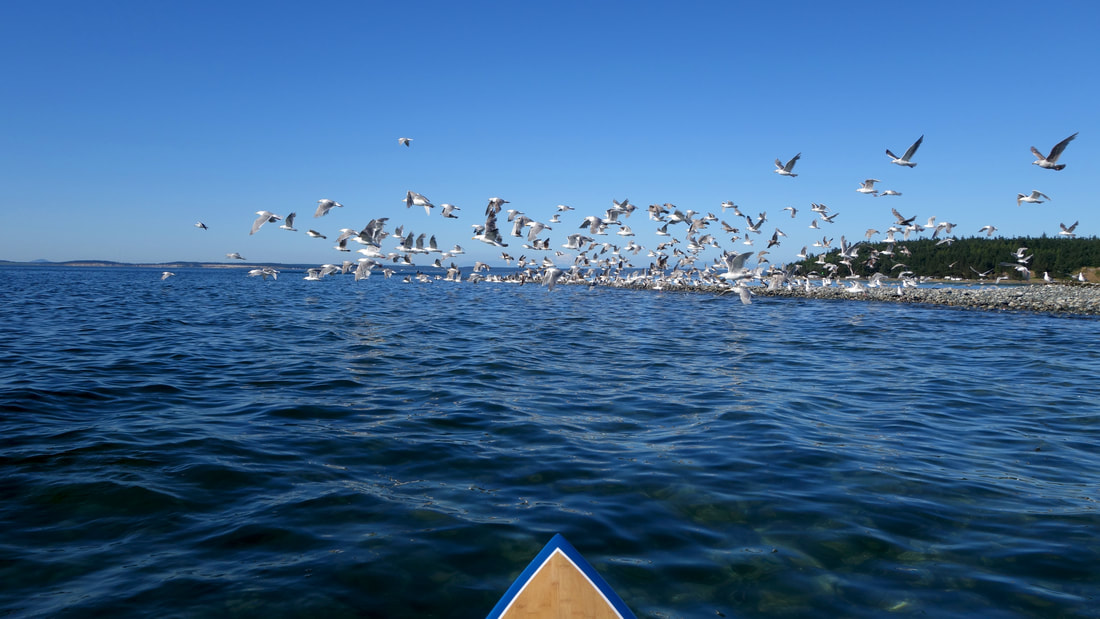
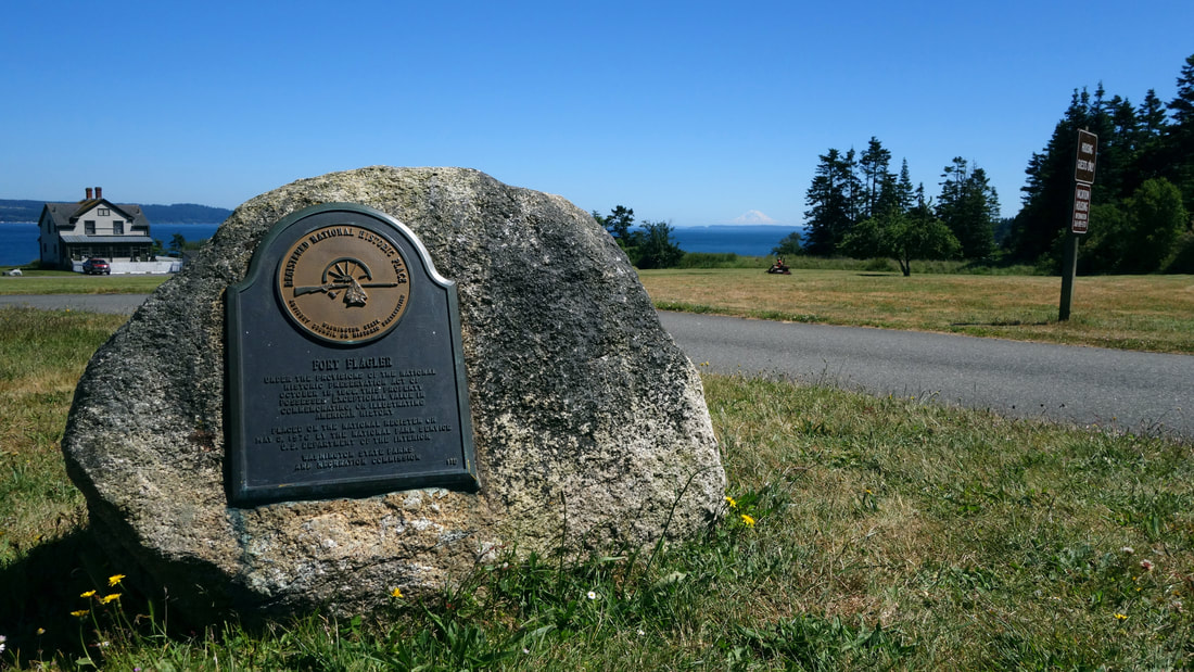
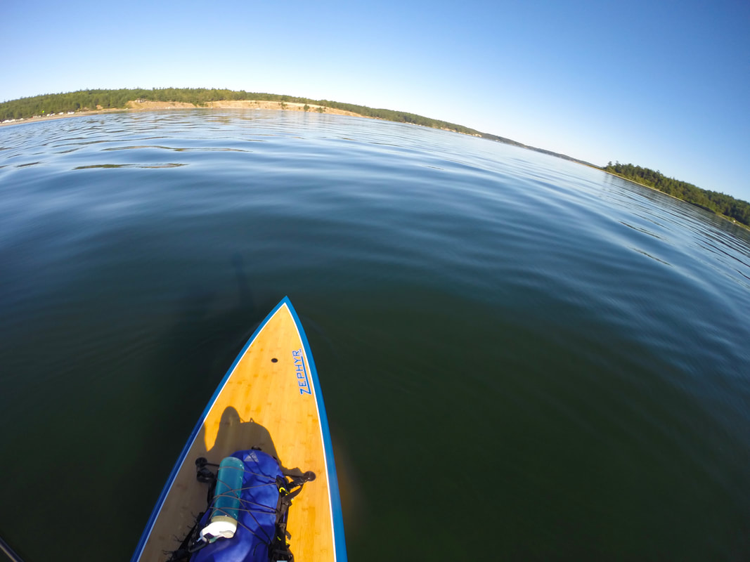
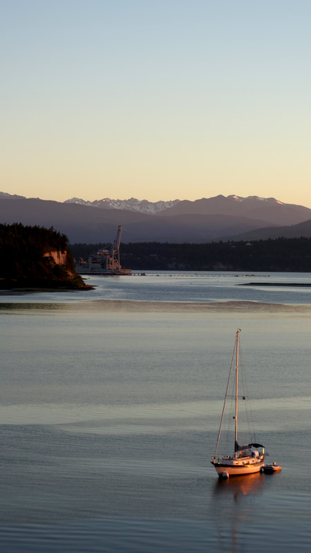
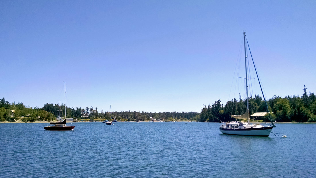
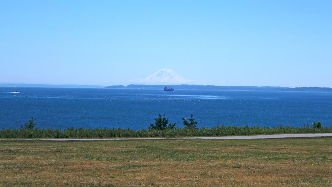
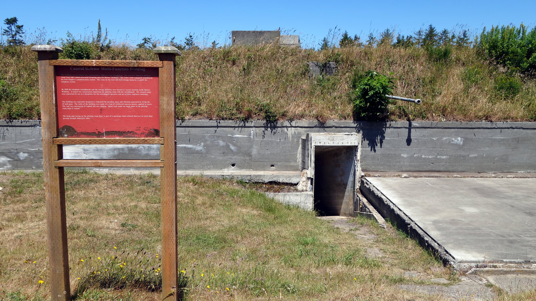
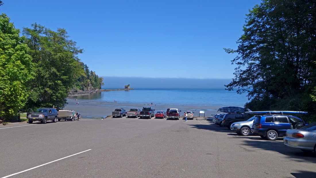
I'm excited to be contributing to a new blog called Washington Shorelines Now and Then. With my friends Rob Casey and Ian Miller, we document shoreline changes by reshooting historical photographs to show the changes Washington Shorelines have experienced in the past 120+ years, whether by man-made development or natural processes. It's fun to see what has changed and what has not. I will be posting a number of entries from Sequim Bay and other nearby shorelines. My first post features Port Williams. Enjoy!
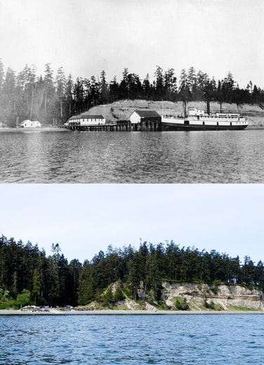
0 Comments
All over the North Olympic Peninsula here in Washington State, from Port Townsend to Neah Bay, there are endless paddling opportunities. Follow the Washington coastline and you'll find the Pacific Ocean connecting to Puget Sound via the Strait of Juan de Fuca, providing us with easy access to the saltwater elixir so many of us know we need, whether it be by standup paddleboard, kayak or rowboat. In the center of it all, near my town here in Sequim, we have one of the best paddle destinations you will ever find. How does this sound...paddle five miles round trip along a wildlife refuge under the watchful eye of bald eagles, to an immaculately well-kept 1850’s lighthouse that you can tour any day of the week, which is located at the end of a sand spit where you can spend hours taking in the endless, breathtaking views of the snow-capped Olympic Mountains and Strait of Juan de Fuca? Did I mention that the only other way to get there, other than by boat, is a 10-mile round trip beach hike? (I’d rather paddle, thank you.) There are no roads, no cruise ships dropping off overfed tourists. It’s a place for those of us who know the value of visiting a distant place you arrived at under your own power. Did I mention the seals, sea lions and (if you’re lucky) the orcas you might encounter along the way? Seriously, the potential for a once-in-a-lifetime experience is there. And, you can be back in town enjoying delicious locally-roasted coffee and refueling in amazing restaurants 15 minutes after loading your boards back onto the car. All this describes a trip to Sequim and New Dungeness Light Station, which has been guiding sailors continuously on Puget Sound since it was first lit in 1857. A visit to the lighthouse really is paddle-trip perfection.
You have two primary launch spots to choose from, but one of them, Dungeness Landing, can be tricky to find. It can also confound boaters and paddlers returning to shore because at lower low tides, the water retreats far away from the boat launch, leaving boot-eating mud that will grab you and keep you if you decide to go for a stroll across it. The other launch spot, Cline Spit is far more friendly at low tides and is the more commonly used site, although it does add another mile to your paddle trip. There is no charge to park or launch from either location. The other very important thing to check is the weather and I’m mostly referring to the wind. Dungeness Spit and the lighthouse are located on the Strait of Juan de Fuca where strong westerly winds are often funneled down the strait during the summer, reaching its highest intensity upon reaching the eastern end of the strait. There are also north winds that come down the Strait of Georgia between Vancouver Island and mainland British Columbia that sweep through the San Juan Islands and wash over the Olympic Peninsula. These summer winds are fairly consistent and predictable. The fall, spring and winter seasons are a completely different story and bring mostly southern winds that can be powerful and extremely unpredictable. In April of 2015, two kayakers were killed and one critically injured when 35 mph winds came up on Dungeness Bay during a church group’s paddle trip and overturned their kayaks. The storm had been well-predicted so they shouldn’t have been out there to begin with, but weather and wind predictions are often wrong here because of the many micro-climates of Western Washington. On the flip-side, Sequim's own micro-climate makes this area one of the sunniest and driest locations in what is often a cloudy and soggy Puget Sound region. I use windy.com as my primary weather site and the lighthouse itself has its own weather station for current conditions which includes past climate data to look through as well. So spend time getting familiar with the wind and weather and if any wind event is predicted, maybe pick a different day for your trip and be prepared for the unpredictable. If things are questionable, you can always paddle inside the harbor and still have a good day enjoying the wildlife while staying close to shore. The water temperature here is around 45 degrees in the winter and as much as 57 in the summer; so yes, it’s always cold. Go ahead and bring a wetsuit or drysuit of some kind and always wear a PFD and leash of course. The New Dungeness Lighthouse website is a great resource and has not only data from their weather station, but tide tables, live webcams, history and a lot more great information. You'll notice on the website that you need to add one other item to your pre-paddle checklist. They ask that you call ahead to 360-457-8451 and make a “reservation." I’m told the only reason for this formality is to get a headcount of how many people visit the lighthouse. You're not calling the lighthouse directly and it's not a safety check-in, merely a courtesy. If you forget to call ahead of time, don’t let that stop you from landing and touring the lighthouse. When you arrive at the lighthouse you will see a sign saying you need to make a reservation to land, but if you just let the keepers know, you will be fine. Once you are on your board and paddling, you’ll be traveling along Dungeness Spit, a 6.8 mile sand spit, the longest natural sand spit in the U.S. Because of constant erosion from nearby bluffs and the consistent pattern of the currents in the strait depositing that eroded material to the spit, it continues to grow by 13 feet each year. Dungeness Spit and the adjoining Graveyard Spit are home of Dungeness National Wildlife Refuge area. If you are a birder, this is a tremendous location to see many different species of waterfowl and shorebirds. You’ll need to stay at least 100 yards from shore until you reach the landing at the lighthouse, in the interest of not disturbing the many birds who call the refuge home, especially during the winter. Please refer to THIS PDF MAP provided by the refuge for boundaries and other info because the areas you can access changes depending on the season. Along the way, be on the lookout for seals, sea lions and the occasional whale, including orcas, some of which (transient orcas) are also on the lookout for seals, but for a snack! For more about the refuge, visit their website. When you start to get close to the lighthouse you will see some signs showing you the designated landing spot for boats and paddlers. You will also see an enormous sign for boats not to drop anchor in a certain area because of the underwater utility lines running to the lighthouse. After you pull your board out of the water and start heading for the lighthouse, you will immediately see interpretive signs with great information. Right away you begin to soak up the history of this unique place. Keep in mind, it's the oldest lighthouse in the Northwest that still allows visitors. The lighthouse has been manned and maintained by the non-profit New Dungeness Light Station Association since 1994 and you will be greeted by the current keepers upon your arrival. One of the most interesting aspects of this lighthouse is that you can join the association and make reservations to stay at the lighthouse for a week and volunteer as keeper. You generally need to make your reservation at least a year in advance but I’m told it’s well worth the wait. Once inside, sign the guestbook, then go in and enjoy all the history and artifacts about not only the lighthouse, but the local native S’Klallam Tribes who have been paddling these same waters for centuries. You’ll then get to go up the tower and get the best view in town. Your view of the strait will often be of enormous cargo ships as they pass close by, transporting containers into Seattle; all with Canada and the city of Victoria as a backdrop. To the south, the view back towards the Olympic Mountains is just spectacular, especially on a sunny, windless day. Once inside, sign the guestbook, then go in and enjoy all the history and artifacts about not only the lighthouse, but the local native S’Klallam Tribes who have been paddling these same waters for centuries. You’ll then get to go up the tower and get the best view in town. Your view of the strait will often be of enormous cargo ships as they pass close by, transporting containers into Seattle; all with Canada and the city of Victoria as a backdrop. To the south, the view back towards the Olympic Mountains is just spectacular, especially on a sunny, windless day. There are many picnic tables on site for you to enjoy a snack and relax while you take in all the beauty and history that surrounds you. For more adventurous souls, you can paddle out to the end of the spit to explore a bit more but expect the water to be rougher as you venture beyond the protection of the spit and into the open waters of the Strait of Juan de Fuca. Again, for the trip back I recommend a flood tide or at least a mostly slack tide and keep an eye on that wind. Check the WindAlert app or others that give you real-time information on wind in the area so you can know if something is headed your way. Also, just be alert to changes in the clouds or the water and listen for bigger waves crashing on the outside of the spit. They are all signs that conditions may be changing. Enjoy the paddle back to the car and once you have packed up, it’s time to head back into Sequim to refuel. I recommend Rainshadow Cafe for their delicious coffee that is roasted in-house. Their chicken quesadilla is a perfect way to replace the calories you just burned and they have beer and wine available too if you wish to celebrate your trip with more than just coffee. For additional adult beverage options, you can visit Wind Rose Cellars and enjoy their award winning wines, or visit the Peninsula Taproom for beer. For relaxed dinner options visit Oasis Bar and Grill or Dynasty Chinese Restaurant. For fancier eats try Alderwood Bistro. There are many, many recreation options in Sequim and all across the North Olympic Peninsula and I highly recommend making a weekend or more of your trip to the area. Bring your bikes and venture out on the The Olympic Discovery Trail which runs almost the entire length of the peninsula. Hiking options are nearly endless and a trip to Hurricane Ridge in Olympic National Park is always a must. Of course there are many other paddling destinations out here too, many detailed on our site and blog. For camping options you can return back to Dungeness Recreation Area (the entrance for folks hiking the spit) or try Sequim Bay State Park or John Wayne’s Waterfront Resort and be right at the water for an early morning paddle the next day on Sequim Bay. Each paddle trip in this area is special and when you have an amazing destination like the New Dungeness Lighthouse, it gives your paddling a purpose. At the end of the day, you’ll have plenty of amazing pictures and stories to share about that time you paddled to the beautiful old lighthouse outside of Sequim. Many thanks to my friend Kip Tulin for the great telephoto pictures I was able to include in this post. Thanks Kip! In late July 2019, a female elephant seal found its way into Sequim Bay and took up residence for a few weeks, feasting right outside of John Wayne Marina. I was lucky enough to get some pictures and video of her. Twice I watched her eat a Pacific spiny dogfish (a type of shark). Elephant seals are very rare inside the bay so it was a real treat to have this experience. Enjoy the video below.
It’s warming up outside but here in the Pacific Northwest it’s still very chilly when the wind comes up and the water is still frigid (and dangerous). I have a variety of clothes I wear for different conditions and my decisions on what to wear are based on a lot of different considerations. A few things to think about:
The real question to ask yourself, “If I end up in the water and can’t get back on my board, how long could I potentially be there and what do I need to wear to keep me alive until I can swim to shore or get rescued?” You want to be comfortable but remember that it is easy to cool down if you get too hot (hop in the water for a second) but warming up isn’t so quick or easy. Let me tell you about my Spring / Fall gear options for staying warm. My favorite piece is my Exo Skin top from ProMotion Wetsuits in Hood River, Oregon. It’s fleece lined and when the wind blows you’ll never feel any of it come through this top. The best part is the comfort. It’s built with lots of room in the shoulders so you stay loose and you’re not exerting extra effort fighting your wardrobe which can happen with a heavy wetsuit. It's snug but the neck is loose and breathable. I wear this over the top of an NRS Ultra John wetsuit. On cold days I add a SmartWool thermal layer. This combination is good if you are paddling with friends who know how to do a rescue or if you’re paddling close to shore and know that you won’t be spending a lot of time in the water, either planned or by accident. I use Xcel 5mm Infinity boots for cold weather and NRS 3mm Freestyle boots when it warms up. Know your abilities, know your local weather and as always...safety first!
Having an idea of what mother nature has in store for us weather-wise is critical to safe and more enjoyable standup paddleboarding. Knowing how much wind you'll be dealing with is important for both beginners and paddlers who've taken that next step into surfing and downwinding. Let me tell you about my favorite site for weather, Windy.com. Windy.com is the best visualization tool you can use to teach yourself the seasonal wind and weather patterns in your area. If you take a quick look at it every day you'll start to see all the common patterns the wind follows, allowing you to better plan your next paddle trip. For western Washington, you'll figure out that the winter wind is almost always from the south and from the north and west in the summer. Since I started using this site I figured out that the area from Port Angeles to Sequim, here in the middle of the north Olympic Peninsula experiences a nice windshadow in the winter to go along with the better-known rainshadow, all created by protection from the Olympic Mountain range.
The most useful function Windy.com provides is the ability to see three different weather forecast models (bottom right corner on the map). If the three models match up you can feel pretty confident in the forecast they are providing. Or you may able to predict a very unpredictable day if they each say something different. This is essential to know how to plan for your time on the water. Once you dig into the menus you'll find an unbelievably robust weather prediction tool with everything from wave predictions to sea temperatures. Windy.com will make you a better, more informed and safer paddler and I can't recommend this site enough.
We are so lucky here in the Pacific Northwest! We not only have thousands of miles of Puget Sound coastline to discover on our stand up paddleboards but we also have amazing camping and recreational destinations with rich history that serve as basecamp for our SUP adventures.
Let’s talk about the paddling opportunities first. Marrowstone Island sits at Admiralty Inlet which marks the narrow location where all the water (and shipping traffic) from the Strait of Juan de Fuca must pass as it heads to and from Seattle. This means strong current on the North and East sides of the park. There is also a lot of wind in this area. But the beauty of having water on three sides is you have a good chance of finding a paddle spot that is safe and out of the wind.
One alternate paddle spot if the wind just won’t let up is Mystery Bay. You’ll pass tiny Mystery Bay State Park on the way to Fort Flagler and it’s a perfect little spot that is well protected. There are lots of old boats and great photo opportunities here. Both Mystery Bay and Fort Flagler are state parks and therefore require a Discover Pass to be displayed in your car while you are parked.
When you’ve finished your paddle trip there is so much to explore at the Fort. Stop by the museum first and pick up a map and some info. Check out the hospital and officer's quarters. Then walk the parade ground and enjoy spectacular views of Mount Rainier on a clear day. Then head north to check out the bunkers while also scoping out great views of Port Townsend, Mount Baker and the big cargo ships passing through Admiralty Inlet.
Watch your step while you are wandering around the bunkers. This ain’t no amusement park and there are no safety rails surrounding the massive concrete bunkers so pay attention and keep your kids close by. Back in the day, these bunkers housed massive artillery pieces designed to take out any enemy ships that may try to pass and reach Seattle. Minus the big guns, everything is as it was when it was built in the early 1900s and it’s fun to imagine what life was like for the men serving here.
Camping here is easy with full facilities and hook-ups for RVs as well as basic tent sites, with many spots in the lower campground just a few steps from the beach. Reserve your camping spot early online. You can make an online reservation up to 10 months in advance. Summer weekends get booked up early so don’t hesitate.
Let me tell you about two other spots you should visit on your way to or from Fort Flagler. One is the Nordland General Store. It has been around almost as long as the Fort and has groceries and all kinds of treats. I enjoyed a Whidbey Island Ice Cream Company ice cream bar and sat in the sun outside. It was a beautiful warm June day so I ended up wearing most of the chocolate as it melted faster than I ate it. Oops. But it was delicious. Also, I’m kind of a coffee nerd and will always mention the spot to get great coffee. After leaving the island head for Easy Times Espresso in Port Hadlock. It’s just a tiny drive-thru stand but they are one of the few drive-thrus that get coffee right. They serve Herkimer Coffee and it’s a delicious way to get yourself good and caffeinated for that drive home.
Fort Flagler has so much to offer and so much to take in. If you love to paddle, love history and love amazing views of Puget Sound you’ll love Fort Flagler.
*Updated 4/16/19
I’ve had my Thule SUP Taxi for a few years now and I’m impressed with how well it has held up over that time and having the option to lock up my boards when I’m traveling is priceless. But there are a few issues and other options to think about too. So for those thinking about buying one or who have purchased the SUP Taxi recently, here are a few thoughts based on my experience.
PROS AND CONS
Pros:
Cons:
TIPS
Yoga mats have many uses When I’m stacking two boards I use a yoga mat between the boards. It's thin but provides some protection, it has good traction and for me it’s convenient because I use it to stand on while I'm changing in and out of my wetsuit. You can also curl the end of the yoga mat to act as a spacer. As an added bonus, you can also use a yoga mat to do yoga (crazy, I know!). Depending on the sizes/shapes of the boards you may need an additional spacer in the front. I use pipe insulation from my local hardware store as my spacer and you can cut them to size if you like. Stretching out As my SUP taxi has aged it seems the straps stretch out a bit now. If I'm getting on the highway I'll strap everything in at least 20-30 minutes before I actually leave, then do it again right before I drive off to give the straps a chance to stretch. Maybe this is just a goofy good luck habit for me but I always cinch down the front first, then the back, then do the front again. I'm not sure why, but that routine seems to keep the boards from moving. (See update below for an additional tip) “Umm...I think it's moving” If you’re lucky enough to be able to see your board while you are driving, do keep an eye on it. It will bounce and you will see some up and down movement. In my experience, the slight bounce up and down isn’t terrible, it’s when I can see the board moving left and right that I have a problem. More than once I’ve seen that slight left and right movement and pulled over and found the board wasn’t nearly as tight as it was when I left the house. I’ve also noticed different car racks have different amounts of flex. I’m still getting used to my new (used) Toyota Highlander. I’ve noticed my 14’ board bounces far more than when it was on my old Subaru Impreza and I think it’s because there is more flex in the Toyota factory crossbars. (See update below for additional safety measure as the SUP Taxi ages and the straps stretch.)
OTHER OPTIONS
The ability to lock up your board is the biggest advantage of the SUP Taxi but if you have a rack with cross bars, straps are simple and work just as well. You can also look at KanuLock locking straps. Yakima offers the SUP Dawg which is very similar to the SUP Taxi but I haven’t tried it yet.
DON’T TRY THIS AT HOME And here is one of the crazier things I did with the SUP Taxi and some other straps. I in no way endorse or recommend doing this. I was going a very short distance. But it makes for a pretty hilarious picture.
* UPDATE 4/16/19
My SUP Taxi is still going strong but as I said before, I still worry about the straps stretching over time. I had tried a number of solutions to secure the board to the front of the car with additional safety lines but I found one simple solution to give me piece of mind when I get out on the highway and I'm going long distances. Simply adding a traditional cam strap in the middle that is connected directly to the car's rack keeps it rock solid at highway speed. For my short trips to my local spot I don't worry about it and just use the SUP Taxi. Why not just use straps all the time? Because this gives me the advantage of using the locks on the SUP Taxi. So, if you already own a SUP Taxi and want to extend it's life while feeling at ease out on the highway, I think this is a good solution. I use NRS and Mile 22 straps.
Any standup paddleboard trip to Freshwater Bay starts with me double-checking the GoPro and camera battery before I ever leave the house. Located 13 miles west of Port Angeles on the Strait of Juan de Fuca, this is one of the most camera-friendly paddling locations between Seattle and the Washington coast. The bay also hosts a wonderful array of marine life making any paddle trip here a special experience and one I highly recommend for paddlers of any level.
Once you are on your board you will find the bay is really well protected from the common summer west winds that travel down the Strait of Juan de Fuca so paddlers of any level can have a good experience on most days. This is Washington so yes, it may be cloudy and yes, it may sprinkle a few drops of rain but who cares, you should be in some warm paddle gear and besides, with rain comes rainbows so enjoy it!
Rain or shine, you’ll have a wide variety of wildlife to scope out. From harlequin ducks and surf scoters to river otters and some of the most amazing bull kelp forests you’ve ever seen; you’ll be getting an eye-full no matter where you look. Be on the lookout for whales in the distance and large schools of juvenile herring just below your board. If you aren’t amazed by the natural wonders around you, YOU ARE DOING SOMETHING WRONG!
For more advanced paddlers you can venture west past Bachelor Rock and into a number of pocket beaches surrounded by high bluffs that will enchant you on your way west. Look for sea stars at the water line and listen for the odd sounds that come from the water sloshing in and out of caverns and crevices that the water has been patiently carving there for thousands of years.
SAFETY NOTE: If you do decide to make this longer trek, bring a VHF radio. Once you go around that corner at Bachelor Rock you are mostly out of sight of all human eyes. If something goes wrong, you are on your own. The weather conditions here change in an instant so be sure you’re wearing proper gear and have water and some food. You will struggle with your cell phone here because it will try to connect to Canadian cell towers and you’ll be "roaming" or the phone may not connect at all. Just be smart people!
If you looking for a guided tour of the bay and expert SUP instruction email Salmon Bay Paddle or visit Adventures Through Kayaking in Port Angeles. Adventures through Kayaking features Harbinger Winery right next door which has a great space for sharing your post-paddle stoke over a couple of glasses of their award winning wines.
GEAR PICTURED IN THIS POST: Bic Tracer 12'6" paddleboard, Riviera Vantage Adjustable Paddle, Bic Wing 12'6" paddleboard, Seattle Sports deck bag, Tahoe Zephyr 14' paddleboard, NRS grommeted dry bag, Kialoa Methane II paddle
|
Tips and Trips Blog
Pictures and advice for beginners learning about stand up paddleboarding (SUP) in the beautiful Pacific Northwest! Blog author:Shanon - Owner of Given to Glide Paddle Sports (GtG) is a PSUPA certified standup paddleboard instructor living and paddling on Washington's Olympic Peninsula. Archives:
May 2020
Categories
All
|